Note
✅ Status update (5 November 2026): Sinthan Top is open. This was verified by the Travelihood team on the ground. Conditions in Kashmir can change at short notice, so check with your hotel, driver or operator before you set out.
Every year, millions of travelers flock to Kashmir’s iconic “Golden Triangle”—Srinagar, Gulmarg, and Pahalgam. While these destinations possess undeniable Himalayan beauty, peak season brings crowded turnstiles at Gondola stations, commercial pony cartel pitches, and traffic bottlenecks along highway corridors.
For discerning travelers, repeat visitors, nature purists, and adventure seekers, the true magic of the Kashmir Valley lies far beyond the tourist perimeter. Along the frontier border districts of North Kashmir and the high alpine passes of South Kashmir lie untouched wilderness sanctuaries: Bangus Valley, Lolab Valley, Sinthan Top, Daksum, and Warwan.
Here, emerald meadows stretch uninterrupted to horizon pine lines, glacial streams run pure enough to drink, and authentic Kashmiri mountain hospitality remains completely uncorrupted by commercial tourism.
This detailed guide outlines routes, permit requirements, high-clearance vehicle logistics, accommodation realities, and complete day-wise itineraries for Kashmir’s ultimate offbeat circuits.
Offbeat Circuits Comparison
| Parameter | Bangus Valley Circuit | Lolab Valley Circuit | Sinthan Top & Daksum Circuit |
|---|---|---|---|
| Geographic Region | Kupwara District (North Frontier) | Kupwara District (Northwest) | Anantnag / Kishtwar Border (South) |
| Altitude | 3,048 m (10,000 ft) | 1,590 m (5,216 ft) | 3,748 m (12,297 ft) at Pass |
| Distance from Srinagar | 128 km (4.5 – 5.5 hours one-way) | 115 km (3.5 – 4.0 hours one-way) | 132 km (4.0 – 5.0 hours one-way) |
| Key Highlights | Bada Bangus, Chhota Bangus, Mawer river, raw wilderness | Chandigam Deodar forests, Kalaroos caves, Sogam meadows | 360° snow peak vistas, Bringhi river trout, Kokernag springs |
| Permit & ID Requirement | Valid Govt ID (Aadhaar / Passport); Army registration at Mawer / Reshwari checkpost | Standard Govt ID registration at district boundary | Open national highway (NH244); no special military permit required |
| Vehicle Requirement | Strictly High-Clearance SUV or 4×4 (Innova, Scorpio, Thar, Gypsy) | Standard Sedan or Hatchback can travel comfortably | Sturdy SUV recommended for steep winding gradients |
| Stay Options | Eco-camps, JKTDC Reshwari huts, forest camping | JKTDC Chandigam Rest House, rural village homestays | JKTDC Daksum cottages, Kokernag hotels, or day trip |
| Best Travel Months | May to October (Inaccessible under deep winter snow) | April to November (Lush spring blooms, golden autumn) | June to October (Pass blocked by 20 ft snow Nov–April) |
| Last Verified Date | October 2026 | October 2026 | October 2026 |
Circuit 1: The Pristine North Frontier (Lolab Valley & Bangus Valley)
Located in the northern frontier district of Kupwara, bordered by the Shamshabari mountain range, Lolab and Bangus represent the pinnacle of untouched Himalayan wilderness.
Srinagar (0 km)
    │  Via Sopore & Kupwara Town (NH701)
    ▼
Lolab Valley (115 km / 3.5 hrs)
    ├─ Chandigam (Dense Cedar Forests & JKTDC Bungalows)
    ├─ Sogam (Scenic Terraced Paddy & Walnut Groves)
    └─ Kalaroos Caves (Ancient Stone Formations & Silk Route Legend)
    │
    │  Transfer via Handwara & Reshwari (1.5 hrs)
    ▼
Bangus Valley Entry (Mawer / Chowkibal Route)
    ├─ Mawer River Valley (Raging Glacial Trout Streams)
    ├─ Chhota Bangus (Lower Rolling Meadow Plateau)
    └─ Bada Bangus (Massive 300 sq km High-Altitude Alpine Basin, 3,048 m)
1. Lolab Valley: The Land of Fruit Orchards & Ancient Cedars
Celebrated by poet Muhammad Iqbal for its intoxicating tranquility (“O Lolab, may thy springs flow forever”), this oval-shaped valley is home to some of the densest Himalayan Cedar (Deodar) forest reserves in Asia.
- Top Sights:
- Chandigam: A peaceful haven of towering cedars with a lovely JKTDC tourist complex.
- Kalaroos Caves: High on the mountain ridge above Kalaroos village lie intriguing limestone caves and ancient rock structures believed by local folklore to connect with historical Silk Route trails into Central Asia.
- Lalbared Lake & Sogam: Verdant rural villages surrounded by shimmering spring-fed streams and walnut plantations.
2. Bangus Valley: The Raw, Unfenced Wild
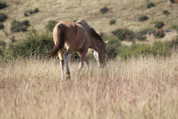
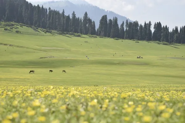
Spanning over 300 square kilometers at an elevation of 10,000 feet, Bangus consists of two interconnected bowls: Bada Bangus (Big Bangus) and Chhota Bangus (Small Bangus). In summer, the valley transforms into an ocean of wildflower blooms, dotted with herds of grazing horses and the wooden mud huts of nomadic Gujjar and Bakarwal shepherds.
- Access Routes: The two main entry corridors are via Mawer/Reshwari (Handwara side) or via Chowkibal (Kupwara side). The final 8 to 12 km stretch involves rugged mountain terrain requiring either a dedicated high-clearance 4×4 or a 2-hour scenic forest trek on foot or horseback.
Circuit 2: The South Mountain Corridor (Daksum & Sinthan Top)
While North Kashmir offers lush meadows and frontier forests, South Kashmir’s high pass route delivers towering rocky ramparts, roaring glacial torrents, and high-altitude alpine transitions connecting the Kashmir Valley directly to the remote Kishtwar region of Jammu.
Srinagar (0 km)
    │  NH44 via Anantnag (1 hr)
    ▼
Achabal & Kokernag (Mughal Gardens & Fresh Water Springs)
    │  NH244 (45 mins)
    ▼
Daksum (Dense Pine Forests, Bringhi River, JKTDC Rest House)
    │  Winding Mountain Ascents (1.5 hrs)
    ▼
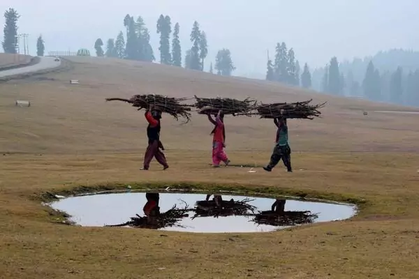
Sinthan Top (3,748 m / 12,297 ft)
(Wind-Swept High Pass, Perennial Snowfields, 360° Himalayan Panorama)
1. Daksum: The Forest Retreat
Nestled at 2,438 meters along the forested banks of the Bringhi River, Daksum is an angler’s paradise and nature lover’s sanctuary. Hemmed in by dramatic conical pine ridges, it offers crisp mountain air, peaceful walking trails through birch and fir woods, and zero commercial hotel noise.
- Where to Stay: The rustic wooden cottages of the JKTDC Tourist Bungalow at Daksum, perched right beside the Bringhi River, offer an enchanting wilderness retreat.
2. Sinthan Top: The 360-Degree Mountain Panorama
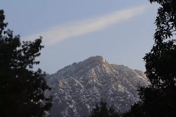
Ascending 38 km beyond Daksum along the engineered switchbacks of NH244, the tree line abruptly gives way to vast alpine tundra and jagged rock needles. At Sinthan Top (3,748 m), you stand directly on the watershed divide between Kashmir and Kishtwar:
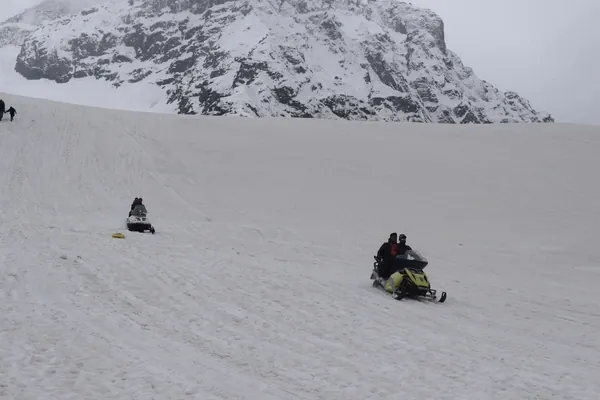
- Snow All Summer: Even during July and August, sheltered gullies along Sinthan Top harbor extensive fields of hard-packed snow.
- Zero Commercial Clutter: Unlike Gulmarg Phase 2 or Rohtang Pass, there are no aggressive vendors or neon souvenir stalls—just raw, biting mountain wind and infinite rows of glaciated Himalayan peaks.
Recommended 6-Day “Raw & Offbeat Kashmir” Itinerary
For travelers who have already seen the classic tourist spots or who demand an unhurried, crowd-free expedition, here is the complete 5-night / 6-day offbeat roadmap:
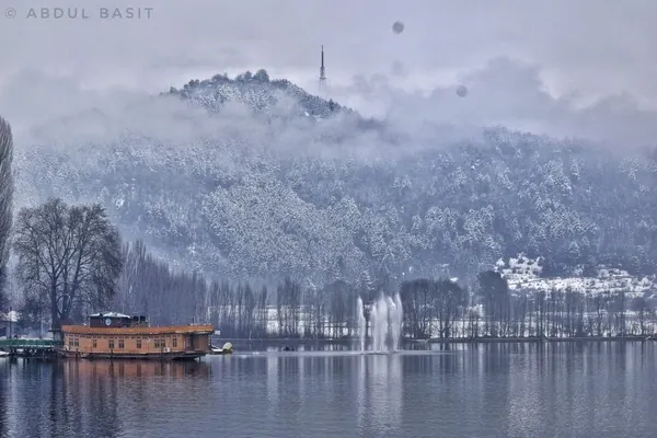
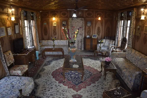
Day 1: Arrive Srinagar -> Scenic Old City Heritage Walk & Nigeen Lake Houseboat Stay
Day 2: Srinagar to Lolab Valley via Sopore -> Chandigam Forest Walk & JKTDC Stay
Day 3: Lolab to Reshwari / Mawer -> 4x4 Trek Expedition into Bangus Valley Meadows
Day 4: Bangus Valley to South Kashmir -> Kokernag Springs & Overnight at Daksum Forest Cottages
Day 5: Daksum -> Ascend Sinthan Pass (3,748 m) -> Descend to Srinagar (Boulevard Hotel)
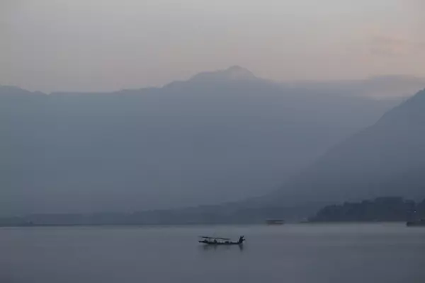
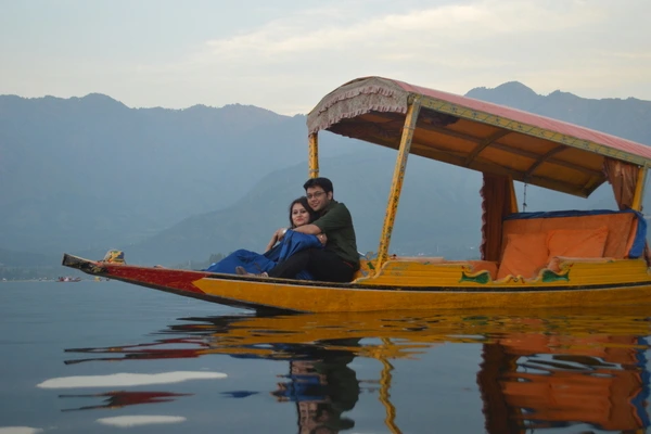
Day 6: Morning Shikara across silent lotus channels -> Transfer to Srinagar Airport (SXR)
Essential Survival Rules for Kashmir’s Offbeat Frontiers
- Vehicle Choice is Paramount: Do not attempt Bangus approach roads or the higher switchbacks of Sinthan Top in a low-ground-clearance hatchback or sedan. Hire a sturdy SUV—such as an Innova Crysta, Mahindra Scorpio, or 4×4 Thar—with an experienced local Kashmiri driver who understands mountain gravel terrain.
- Postpaid SIM & Offline GPS Maps: Non-J&K prepaid SIM cards are blocked throughout Jammu & Kashmir. Even with a postpaid SIM, mobile data drops to zero once you penetrate deep into Bangus Valley or ascend Sinthan Pass. Download offline maps on Google Maps or Maps.me for the entire Kashmir region before departing Srinagar.
- Cash Reserve Strategy: There are zero ATMs in Bangus, Daksum, or Sinthan Top. Always withdraw sufficient cash in Srinagar, Handwara, or Anantnag to cover fuel, meals, guide tips, and homestay accommodations.
- Permits & Identity Documents: Always carry your original physical Aadhaar Card, Voter ID, or Passport along with 2 photocopies. While special Inner Line Permits (ILP) are no longer required for domestic Indian citizens visiting Lolab or Sinthan Top, military checkposts near the border belt (such as Reshwari/Mawer for Bangus) record visitor details for safety and border security compliance.
- Leave No Trace (LNT) Ethics: Because these valleys lack municipal waste collection infrastructure, every single plastic bottle, wrapper, and wet wipe you bring into Bangus or Daksum must be carried back out in your vehicle to Srinagar.
Photo gallery