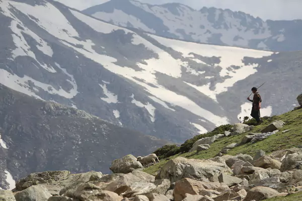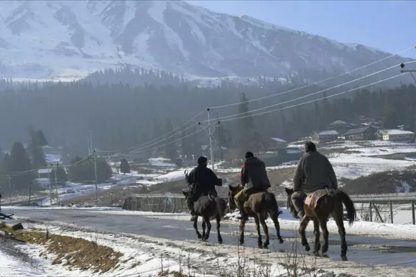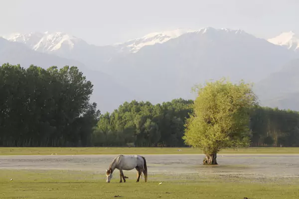
While destinations like Gulmarg receive tens of thousands of visitors every week, Bangus Valley in northern Kupwara district remains one of the largest untouched alpine meadow systems in the Himalayas. Spanning roughly 300 square kilometers at an altitude of 10,000 feet, Bangus is an unbroken wilderness of undulating meadows, pine-clad mountain ridges, and meandering crystal streams known as Mawar and Kamil.
Because it was off-limits for civilian tourism for decades due to border proximity, Bangus has zero commercial hotels, no shopping malls, and no taxi cartels. Visiting requires a sense of adventure, self-sufficiency, and respect for nature.
Quick Facts
| Parameter | Details |
|---|---|
| Best Season | June to September (Lush green meadows and wildflower bloom). |
| Permit Needed? | Indian nationals: Valid original photo ID required for security checkpoint checks. Foreign nationals: Require prior clearance from District Magistrate Kupwara. |
| Local Cab Rule | No local taxi union cartel exists. You can hire an SUV or 4×4 from Kupwara or Srinagar to reach the roadhead. |
| Trek Required? | Depending on the access route chosen, reaching the inner meadows involves a 3 to 7 km hike from the roadhead. |
| Accommodation | No hotels inside the valley. Camping (bring your own gear) or local homestays in Reshwari/Kupwara. |
| Last Verified Date | October 2026 |
Understanding Bangus: Bodh Bangus & Lokut Bangus
The valley is divided geographically into two primary meadows:
- Bodh Bangus (Big Bangus): A vast, elliptical bowl meadow extending over thousands of acres, dotted with seasonal pastoral settlements (kothas) of Gujjar and Bakarwal herders.
- Lokut Bangus (Small Bangus): Located to the east, smaller and encircled by dense coniferous forests of deodar, blue pine, and silver fir.
How to Reach Bangus Valley: The Two Main Routes
Srinagar ──(85 km)──> Kupwara / Handwara
   ├── Route A (via Handwara & Rajwar) ────> Wader Payeen ──> 5 km trek to Bodh Bangus
   └── Route B (via Kupwara & Chowkibal) ──> Chitterkote ──> Drangyari ──> Bangus Roadhead
Route 1: The Handwara – Rajwar Axis (Most Popular for Hikers)
- Drive from Srinagar to Handwara (65 km), then proceed toward Rajwar and Wader.
- The motorable road ends near the forest edge. From here, a beautiful 2 to 3 hour gradual uphill forest trek along mountain brooks leads directly into the rolling greens of Bodh Bangus.
Route 2: The Kupwara – Chowkibal – Drangyari Axis
- Drive from Srinagar to Kupwara town, then take the road toward Chowkibal and Drangyari.
- Drangyari offers scenic forest rest houses and stunning vantage points. Newly constructed eco-roads have shortened the walking distance into Lokut Bangus from this side, though road quality is rough and unpaved. A 4×4 or high-ground-clearance vehicle (Scorpio, Bolero) is essential.
Essential Survival Guidelines for Bangus
- Pack Out All Trash: Bangus has no municipal waste system. If you pack food, plastic bottles, or wrappers, carry every piece of waste back out to Kupwara town.
- Carry Your Own Food and Water: You will find no restaurants, cafes, or snack shops inside Bangus. Pack sufficient sandwiches, dried fruit, trail mix, and a water purification flask.
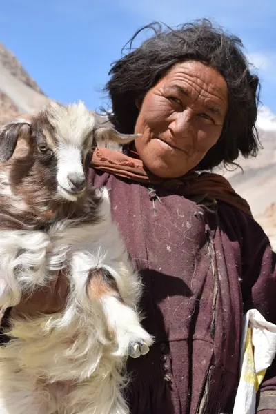
- Respect Local Herders: The Gujjar and Bakarwal herders who live here seasonally are exceptionally warm and welcoming. If invited into a kotha for salted tea (noon chai), accept with courtesy.
- Offline Navigation: Mobile network signal vanishes completely once you ascend past the forest checkposts. Download offline topographic maps (e.g., Google Maps Offline or Gaia GPS) before leaving Kupwara.
Plan your visit
Want to add it to your trip? Ask us to plan a custom itinerary, or browse all Kashmir trips.